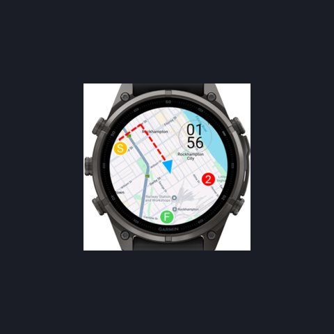
Activity Maps (BETA) - Google, Open Topo
This is a BETA release for you to try. This data field will move to a paid app in future. Important note, your phone must be connected to the internet. Display Google or Open Topographic maps in your run/walk/bike activities.
Originality: online map data field
Screenshots
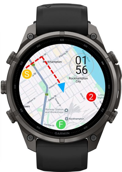
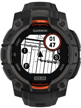
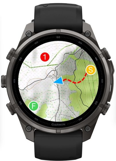
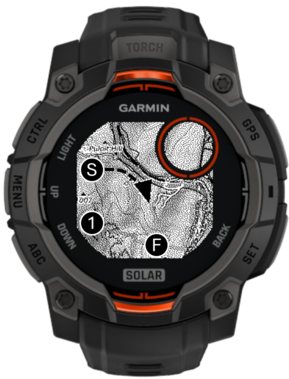
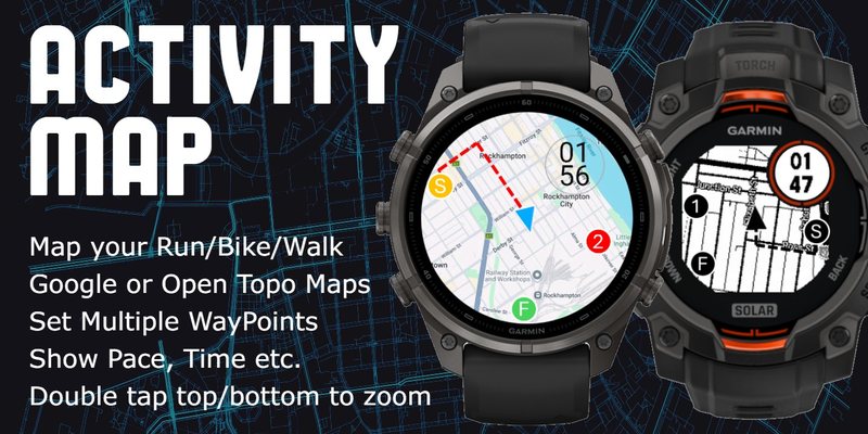
Pictures: EasyApps, from the Connect IQ Store listing.
More top apps
All 100 →
Walk With Frodo
Walk with Frodo and Sam to Mount Doom: your daily steps carry you 2,896 km (1,800 miles) along the journey, with 66 milestones from the books and movies and information about each place.

Rain
A lightweight rain widget that shows a graph of the coming precipitation, faster than radar image widgets: the next hour in the USA, UK and Ireland, the next 2 hours in several European countries.
HYROX Tracker: ROXZONE
A dedicated HYROX app: a true race simulation on your wrist with running legs, station paces and transition times split cleanly in one saved activity. Plan your race on your phone; one-time purchase, no subscription.
Awesome Maps (Free Topo Map & Routes + Offline)
Topo, satellite and national maps on your watch even without built-in map support, streamed from your phone, with route following and an offline mode. Includes many national map services worldwide.